A lot of Capetonians know there was a battle in Muizenberg, but many don't know the whole story or realise that you can actually visit the place where it happened. The two-hour battle (more correctly called a "scuffle" according to our guide, Chris Taylor of the Muizenberg Historical Conservation Society) took place between the British navy and the Dutch garrison at the Cape in 1795. I'm not going to retell the history as you can read all about it in much more accuracy here and here (better yet, get Mr Taylor to give you a tour - he's a great storyteller!). It's an interesting story, though, and it's pity more people don't know about that part of Cape Town's history.
Looking at the "battlefield" today, you could never imagine the chaos of cannonballs whizzing past, dust and smoke, a hastely-built fort falling to pieces, lethal shrapnel flying through the air... In fact, it's all quite peaceful and lovely and is currently available for hire as a wedding or party venue!
It is situated on the mountain side of Main Road, between Muizenberg and St James stations. You'll see this sign next to a small parking lot:
Oh, how I tried to get a photograph of both flags at the same time! Well, here is the flag of the VOC (Vereenigde Oost-Indische Compagnie) otherwise known as the Dutch East India Company:
And here you can sort of see the Union Jack of the time (notice that the flag of St Patrick is missing from the mix):
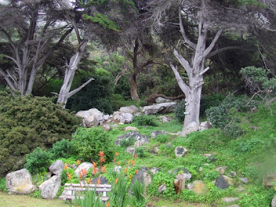
The battlefield was, up until recently, completely overgrown. Now you get to the main site by passing through a beautiful corridor lined with craggy old Milkwood trees, such as this one:
First view of the lower level past the trees:
The main site consists of three levels. Here you can see all three - the bottom one with the red flowers [Watsonias?] in the foreground; the middle one slightly above with the small stone table; and the third one further up with the flag poles:
To the trained eye there is apparently evidence that a new (British) fort was built on the ruins of the ill-fated Dutch one. Since that time, the site has been a dumping ground and a tennis lawn among other things, before being allowed to grow wild.
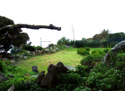
Today it is pretty and tranquil:
Looking down from the third level. Main Road is just below those trees and then ... the ocean!
A magnificent playground for kids!
I sneaked a pic of J in between the historical record-taking.
Chris took us a short way up the mountain (short, but oh so very steep!) to the site of another small Dutch fort.
Finally, we went up even further (to probably just below Boyes Drive), where the "Pandours" (native soldiers) would keep a lookout for ships getting too close to the shore.
We went up through a tunnel that could have been in Middle Earth:
The view from up there was amazing!
I had to take a breather. That was steep!
From up here the Pandours could see the whole of False Bay. Today you get a lovely view of Muizenberg beach:
And that is the story of our Saturday morning tour! If you want to go on a tour to find out about this fascinating part of our history yourself, contact Chris on 082 908 3456 or send him an email.


Ooo, very nice to see! Had no idea it was there!
ReplyDeleteBaie mooi fotos en lekkerlees storie!
ReplyDeleteM
What a beautiful spot & what gorgeous views.
ReplyDeleteThanks for stopping by my blog - I left links underneath your comment (for how to get the two-tone cupcake icing). Hope you try it out!